
Cuba, Geiger and the county's crossroads
Between the larger towns, Sumter County is a scatter of small crossroads on the old roads and rails. They ask for a slow drive and a light touch.
Read moreSmall towns, river bluffs and back roads in Alabama's Black Belt
| Post | From Livingston | Era that shaped it |
|---|---|---|
| Livingston: the courthouse square and the Bored Well | County seat | many eras |
| Gainesville: an old Tombigbee river town | Roughly 20 miles north | 1830s-1860s |
| York, the railroad crossroads | About 10 miles southwest | 1870s-1920s |
| Cuba, Geiger and the county's crossroads | 15 to 25 miles out | many eras |
| Epes and the Tombigbee bluffs | About 10 miles northeast | before 1830 |
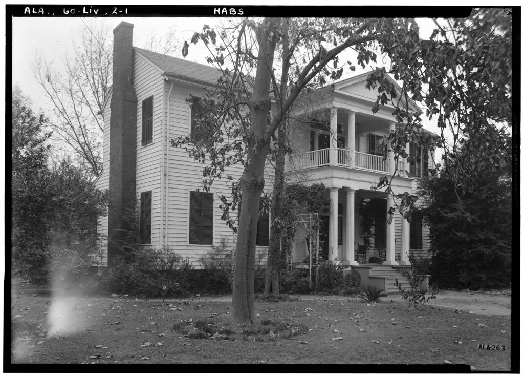
Sumter County sits on the Mississippi line in western Alabama, cut through by the Tombigbee and laid over the dark soil of the Black Belt. These six posts take it one place at a time, from the courthouse square in Livingston to the white bluff above the river at Epes.
Between the larger towns, Sumter County is a scatter of small crossroads on the old roads and rails. They ask for a slow drive and a light touch.
Read more
Near Epes, the Tombigbee cuts into white chalk and leaves pale bluffs above the water. On one of them, Europe's empires took turns holding a small fort in Choctaw country.
Read more
The name began with the soil and came to mean the people too. To understand Sumter County, start with the dark ground over the chalk and the history it shaped.
Read more
Before the railroads, cotton from the prairie went down the Tombigbee from landings like this one. The steamboats are long gone, but the old streets still follow the river.
Read more
York owes its existence to two railroad lines that crossed here in the late 1800s. The tracks still shape the town, and the old brick storefronts have found new uses.
Read more
The county seat is small enough to walk in an afternoon. Start at the artesian well on the square, take the side streets slowly, and finish on the old campus at the edge of town.
Read moreMost of the county is farmland and pine woods, and the towns are far apart. Fill the tank in Livingston or York, carry water in summer,